
Trace a Thornton Street Directory Address
The most reliable street directory work is a short chain. Begin with the exact address, then make each source add one defined field. An address can identify a parcel without identifying its occupant. A recorded deed can identify parties without proving who lives there. A voter entry can show a dated registration without showing every person in a household. Keeping those limits visible makes a street search useful for a property question, family-history project, or neighborhood record.
- Normalize the number, street name, direction, city, and ZIP with the USPS address lookup. Save the historical last line if the source is old.
- Run the address through Adams County Property Search, or use Weld’s property portal after checking the city boundary.
- Copy the parcel number, situs address, legal description, owner fields, mailing fields, and displayed assessment date.
- Use Landmark Web by the owner as grantee, then confirm the deed with its reception number, record date, and legal description.
- Open each nearby parcel in Adams GIS, check CityView permit history, and compare the record date with a dated voter file or historical reverse directory.
For the whole named street, repeat the parcel step one polygon at a time. No official Thornton source inspected here provides an all-residents street button. The documented method is a record-by-record walk with a clear source date.
Thornton Address Record Coverage
The Thornton street directory has a different answer for each record set. The table below separates the keeper, the address fact, and the route. A blank field or omitted address is part of the result, not an invitation to infer a private detail from another source.
| Record set | Keeper | Address fact | Access |
|---|---|---|---|
| Assessor property search | Adams or Weld Assessor | Parcel, owner, situs, mailing, legal and value fields | Online portal |
| GIS parcel layer | Adams GIS and Thornton maps | Polygon, parcel number, owner and mailing fields, adjacent geography | Map identify and property report |
| Recorded instruments | County Clerk and Recorder | Deed, lien, plat, reception date, grantor and grantee | Landmark Web or EagleWeb |
| City permits | Thornton CityView | Permit ID, address, subdivision, dates, status, and some party roles | Address or parcel search |
| Voter files | Adams Elections | Dated public registration and address fields, subject to omissions | Downloads or request |
| Reverse directories | DPL and licensed collections | Historical address-to-name entries where the volume covers the place | Library or licensed access |
Street-level work belongs here. The historical shelf itself is handled in the Thornton city directory collections, while a one-person identity ladder belongs in the resident lookup page.
Thornton Parcel Search Fields
Adams County’s documented address syntax is concrete: enter a street number, street name, and directional initial such as E or W, and omit punctuation in the example format. The current search shell uses text and autocomplete. The map layer is useful when a street has an old number, a split parcel, or a spelling that does not match a simple search.
| Adams QuickSearch | Address text and autocomplete. An address is needed to resolve the parcel suggestion. |
|---|---|
| Adams GIS parcel | Map, identify, polygon click, and query behavior after a parcel is selected. |
| Parcel field | PARCELNB, the parcel number exposed in the inspected layer. |
| Address fields | CONCATADDR1 and CONCATADDR2, plus the displayed situs address. |
| Owner fields | OWNERNAME and variants, with OWNERADDRESS and OWNERCSZ for mailing information. |
| Weld alternative | Account, owner name, address portion, subdivision, parcel, section-township-range, or API number. |
The property search is a locator for a parcel. Capture the legal description before turning to the recorder, because a street label can change while a lot, block, or metes-and-bounds description remains the bridge.
Note: The Adams online data disclaimer means a displayed owner or value should be checked against the current record before it is cited.
Browse Thornton Parcels in GIS
Use the Adams Basic or Advanced Web Map to browse a street segment. Identify the target polygon, copy the parcel number and address, then click each touching polygon in a consistent direction. The inspected layer returns parcel number, address, owner variants, owner mailing address, city, state, ZIP, and a property-report link when those fields are available. Layers can add subdivision, flood, district, zoning, and city-boundary context.
The map is not a household or radius tool. The research did not locate an official buffer function, household-members field, or street-wide export. For a block question, the adjacent polygon method is the documented choice. For a whole street, make a list of parcel identifiers and mark parcels that return only geometry.
The Adams real-property instructions explain the address-to-parcel starting point shown in this capture.
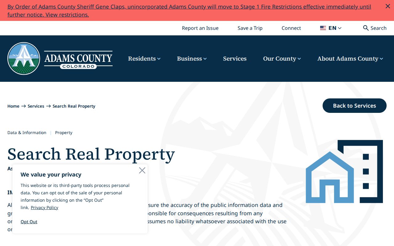
The search instructions are most useful when paired with the map: one resolves a suggestion, while the other shows the parcel’s place on the street.
Thornton Deed Chain by Street
Adams Landmark Web indexes recorded documents by name, document, book and page, consideration, record date, reception number, and legal description. For a street address, begin with the current assessor owner as a likely grantee. Select the purchase deed, compare its document type, reception number, record date, book and page, image status, and legal description, then search the grantor or seller. Repeat backward only after each step is tied to the same parcel.
The Adams index is not tract-indexed. A grantor or grantee hit can belong to another address, an entity, a trust, or a different county. A legal description, plat, or reception number is the check that keeps a street chain connected. Weld EagleWeb is the parallel route for a Weld-side parcel and states that its records and maps reach back to 1865.
The visible disclaimer and search-mode icons in the recording portal show what a user should confirm before opening an image.
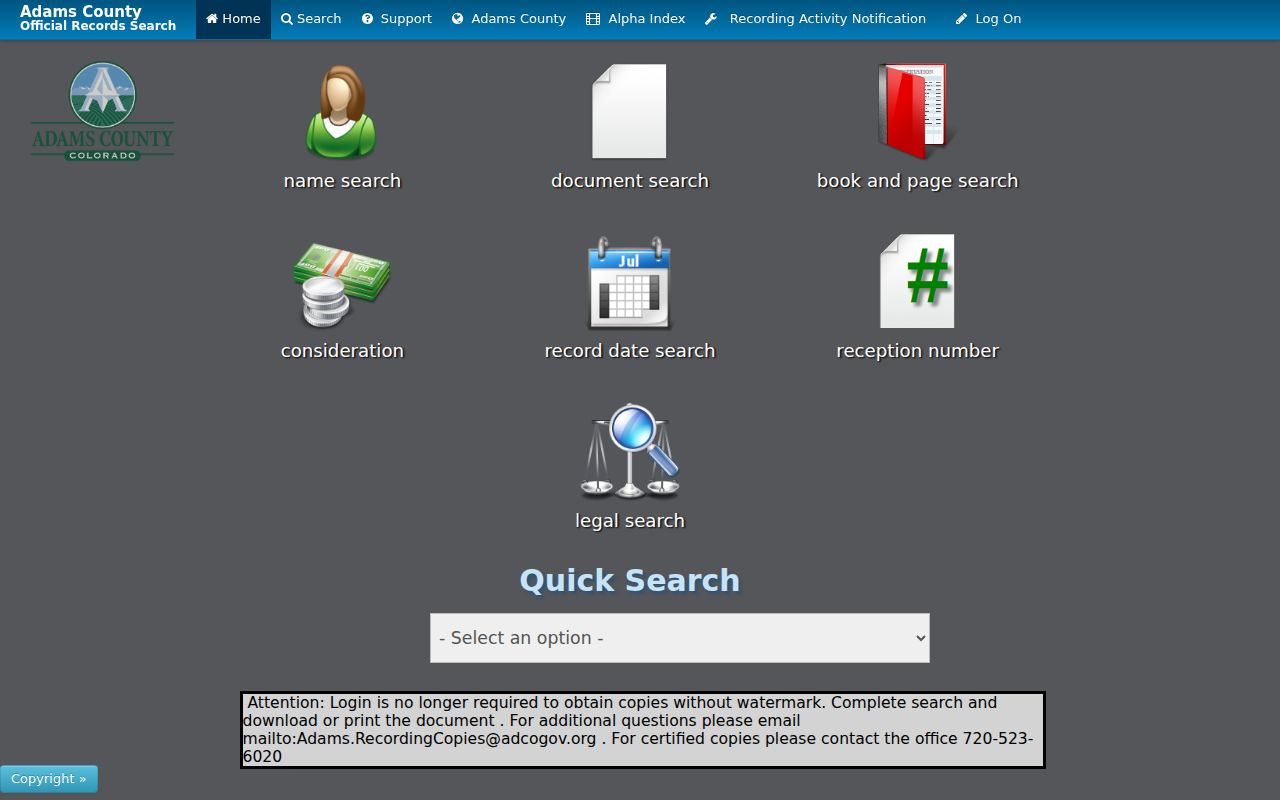
Read the notice, preserve the source date, and distinguish an index entry from a certified copy. Adams Recording’s current standard recording charge is $43 per document, effective July 1, 2025.
The Adams Recording Fraud Alert is a separate name or business notification route for newly recorded documents.
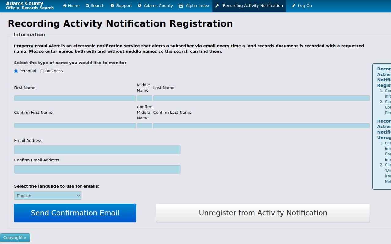
It can notify a subscriber when a name appears, but it does not certify identity or stop a filing.
Thornton CityView Permit History
Thornton CityView adds municipal history to the street directory. Its Property Locate control asks the user to begin typing a street address or parcel number and select a suggestion. Reports can show permit ID, status, subdivision or filing, lot and block, legal description, address, ZIP, application or issue date, and some applicant or owner fields. The official help material places permit history from 1993 forward, but old or inactive addresses may need another search.
CityView is not an occupant source. An applicant, owner, contractor, or permit party has a role in a project. Code Compliance also routes through city systems, while Thornton says it does not enforce private HOA covenants. For a missing pre-1993 or inactive record, submit a City Clerk CORA request with the parcel, old and current address, and date range.
The Thornton property locator shows the address or parcel selection behavior that anchors a street search.
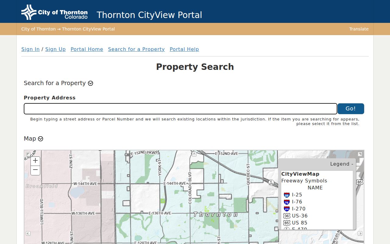
Use the selected property as the key, then retain the report date and the role attached to any name.
Thornton Voter Files Along a Street
Adams Elections publishes a Registration Master List XLSX and a Voting History ZIP as dated files. The download can contain public name, residential address, party or affiliation date, status, birth year, precinct or district, phone if supplied, and participation history, but the exact headers must be read from the file that is current at the time of use. There is no open citywide street-browse page in the inspected voter sources.
Protected addresses and specified identifiers are omitted. Full birth date, Social Security number, driver or state ID number, signature, email, preregistered under-18 records, and how a person voted are not supplied. A voter record is a registration snapshot. It does not prove that every person at the address is registered or that the person is there today.
For street research, use the dated file through the county route, retain the file name, and never merge it silently with owner or mailing fields.
Thornton Reverse Directories by Address
Historical reverse or criss-cross directories are the address-to-name tool for earlier years. Denver Public Library documents Householder or Criss-Cross volumes arranged by street from 1924 through 2018, alongside Denver city directories on microfilm from 1866-1981. Those are regional holdings, not automatic proof that every Thornton street appears. Use the Colorado Directories Index to search the municipality, county, and year, then inspect the cited volume.
Read the street section with the alphabetic name section. Record the exact street, printed occupant or owner mark, initials, spouse notation, publisher, year, page, and place coverage. An entry can be absent because the volume covers another municipality, lists only a head of household, uses an older place name, or falls between editions.
The address trail is strongest when a reverse directory is paired with a deed, newspaper, obituary, or parcel legal description. It is not a current list.
Eastlake and Thornton Street Names
Thornton’s modern street grid sits on a layered place history. Eastlake was a railway village and joined Thornton in 1990. The city’s one-square-mile 1956 core grew through later development and annexation. A record can therefore carry Eastlake, an older county route, a subdivision, or Thornton depending on its date. A current street search that uses only “Thornton” can miss the older label.
Use the subdivision map as a vocabulary aid. Original Thornton, Eastlake, Eastlake Estates and Shores, Hunters Glen, Todd Creek, North Creek, Riverdale, Wright Farms, and Yorkshire can connect a plat, permit, newspaper, map, or directory entry. Preserve the map label as geography, not as proof of a private association or address.
Bridge an old name with the parcel’s lot and block, legal description, old and current number, owner or seller, and the year of the source.
Thornton Mailing and Situs Addresses
The situs address names the physical parcel. The owner mailing address is where an assessment notice or related correspondence is sent. Adams GIS exposes both kinds of fields when available, and they can point to different cities or ZIP codes. That difference is an insider clue for research, not a reason to treat the mailing address as the occupied home.
- Situs address
- The physical location tied to the parcel and map geometry.
- Mailing address
- The address supplied for notices or ownership correspondence.
- Legal description
- The deed or plat wording that can survive a number or postal-place change.
- Parcel number
- The county identifier used to connect the map, report, and property record.
Compare all four fields before searching deeds or older directories. A ZIP last line can change without the parcel moving, and the 80241 preferred last line changed from Denver to Thornton in 2010. The Thornton ZIP directory explains the postal side of that mismatch.
Thornton Street Search Boundaries
A public property roll does not show every household member. Owner and occupant can differ. Voter data is dated and incomplete by design. DMV address data is restricted under the federal Driver Privacy Protection Act. Utility, delivery, and private association customer lists were not located in the inspected official sources. The Adams GIS parcel layer supplies adjacent parcels, not a household radius tool.
Respect the boundary of the record. Use a Thornton street directory for lawful personal, family-history, estate, property, or civic research. Do not use a name, address, voter field, deed, or map result to stalk, harass, intimidate, or harm a person.
Protected voters and Address Confidentiality Program participants may be absent or represented by a substitute address. A no-result can mean protected data, an old place label, a wrong county, or an incomplete index. It does not establish that a person never lived on the street.