
Thornton Past Residents Source Map
One address needs a source map before it needs a story. Deeds establish party and parcel events; directories and census add household clues; permits date work; vital, probate, obituary, and newspaper records may close the trail. These spans differ, and an online gap is not proof of an earlier owner or occupant.
| Source | Years It Covers | Where Held | What It Shows |
|---|---|---|---|
| Adams Landmark Web | Online back-year range not stated | Adams County Recording | Grantor and grantee index, document details, recorded images |
| Weld EagleWeb | 1865 to present | Weld County Recording | Recorded documents and maps for a Weld-side parcel |
| Thornton CityView permits | 1993 to current in the help guide | Thornton city portal | Permit and application context by current or historic address |
| Denver city directories | 1866 to 1981 documented run | Denver Public Library and licensed databases | Names and addresses when the volume covers the place |
| Denver criss-cross directories | 1924 to 2018 documented run | Denver Public Library | Street-arranged address-to-name leads |
| Adams historical series | Birth and death 1902 to 1907; other series-specific spans | Colorado State Archives and courts | Eligible events, probate, marriage, divorce, and naturalization leads |
| Federal census | Through the applicable 72-year release | NARA, libraries, and licensed databases | Household schedule at the census date |
| Sanborn maps | Denver series listed from 1887 to incomplete 1974 | Denver Public Library and map collections | Structure and land-use context, not a resident list |
Start with the era you can name. Current addresses begin with the assessor and GIS; older ownership moves to the recorder. Household questions need directories or census schedules, while death clues may need obituaries, probate, or Archives series. Keep source, date, place, and access beside every result.
The Thornton Parcel Starts the Resident Trail
The parcel bridges a street and an older record. Begin with the Adams County real-property search, then capture parcel number, situs, owner, mailing address, legal description, date, and subdivision or lot. Adams GIS can confirm the polygon, neighbors, and property report. Mailing is a notice clue, not proof of residence.
Thornton reaches from dominant Adams County into Weld County. Check a northern or eastern address against the boundary before an Adams-only search. If it resolves to Weld, use Weld property, recording, and court systems. EagleWeb is the online route, while the Weld Clerk and Recorder office is the counter or request fallback. A legal description can bridge a changed number, lot, block, or older place label.
Thornton Deed Chains Lead to Past Owners
Adams County Recording is the main owner trail for most Thornton parcels. Landmark Web offers name, document, book and page, consideration, record date, reception number, and legal modes. Its grantor and grantee index is not tract-indexed, so a name hit needs a legal, reception, or image check. Recording proves filing, not legality or authenticity.
The recording office at 4430 South Adams County Parkway, Suite E2400, Brighton accepts walk-ins, mail, courier, and electronic recording. The listed contact is 720-523-6020 and Adams.recording@adamscountyco.gov. The standard charge became $43 per document on July 1, 2025; copies, certification, searches, plats, and delivery differ.
The Adams Recording Division page supplies the custodian route.
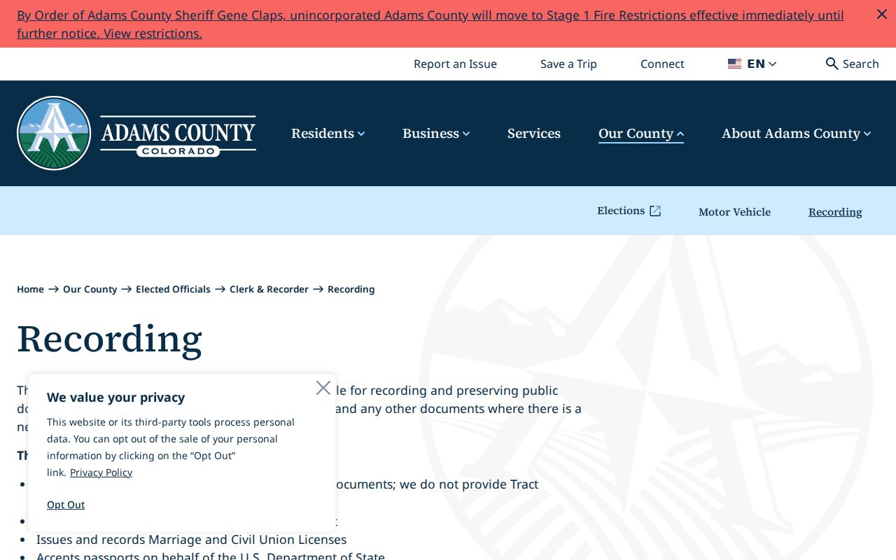
The image identifies the custodian. Its walk-in, mail, courier, and electronic channels matter when an image is missing or an older search needs staff help.
The Adams alpha index adds book-index, scan-only, criteria, and verified-date selectors.
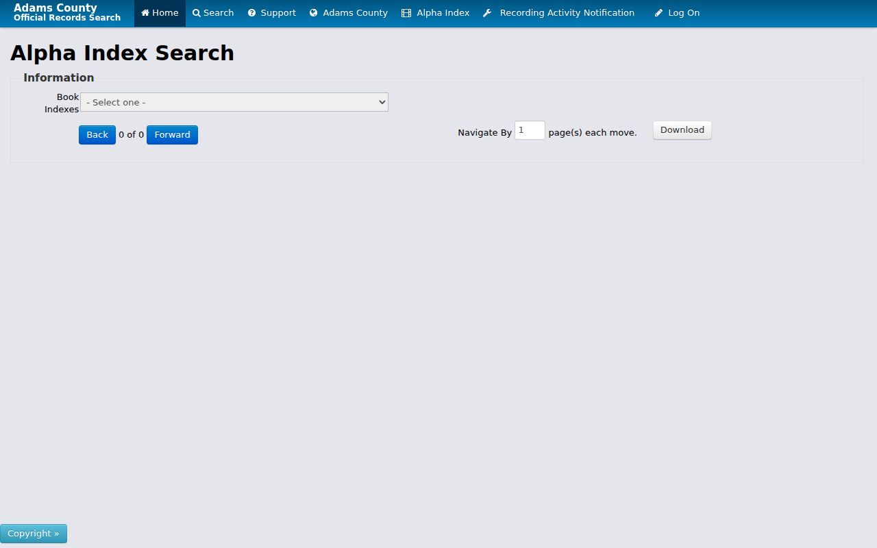
Use the alpha result as a lead, then confirm the image, reception number, legal description, and record date.
- Capture the assessor owner, parcel number, legal description, and assessment date.
- Search the owner as grantee, narrowing by legal description, reception number, or date.
- Confirm the purchase deed with document type, reception number, legal description, and image.
- Read the seller or grantor and search that party as a prior grantee.
- Repeat backward, recording gaps, entities, estate roles, and parcel splits.
- If the trail stops, request a book, page, or certified copy.
- Grantor
- The party transferring an interest in the recorded instrument.
- Grantee
- The party receiving the interest shown by that instrument.
- Chain of title
- The linked sequence of recorded transfers used to connect a current parcel to earlier parties.
- Legal description
- The parcel wording from a deed or plat that can bridge an old address, subdivision, or lot and block.
Eastlake and Postal Names in Thornton Records
Thornton has a local place-name trap. Eastlake began as a railway village and became part of Thornton in 1990. The city also grew beyond its one-square-mile 1956 core. An older deed, directory, newspaper, or census schedule may therefore name Eastlake, Adams County, a subdivision, or a rural route rather than the modern city. Search the original wording and keep a modern normalized address beside it.
Postal history adds another wrinkle. The preferred last line for ZIP 80241 changed from Denver to Thornton effective August 14, 2010. ZIP 80023 was established from Broomfield 80020 effective July 1, 2007. Those changes can make a historical directory or newspaper look like a different place even when the parcel did not move. Use the USPS exact-address lookup for a current delivery check, not the nearest post office as a boundary test.
When a number changed, search both numbers, the subdivision, lot and block, parcel, legal description, and former owners. A plat can bridge the gap better than a broad city search. Keep postal last line, boundary, situs, mailing, and legal fields separate.
Thornton Permit History After 1993
Thornton CityView adds a modern trail beside the deed chain. Property Locate accepts a street address or parcel number and a selected result. Permit context can include ID, subdivision or filing, lot and block, legal description, address, ZIP, dates, status, and some applicant or owner fields. The help guide reaches to 1993; old or inactive addresses may need another search.
The Thornton CityView property search is an address and parcel route, not a complete list of past occupants. An applicant or owner role belongs beside its date and permit number. It can show when work was proposed or recorded, but it does not establish who slept at the address or who controlled the property throughout the project.
For a missing permit, old address, or code record, use the Thornton City Clerk public-records form. State the parcel, current and former address, exact date range, record type, and preferred electronic format. The form allows an anonymous request when a response channel is supplied. Electronic delivery has no copy charge; research and retrieval are $41.37 per hour after the first hour, with a possible 50 percent deposit for an estimate of at least five hours.
Code Compliance and private association records are separate layers. No public Thornton utility-customer list was located, so a permit or code case remains a dated property clue, not a household roster.
Thornton Criss-Cross Directories by Street
Householder and criss-cross directories are the best historical fallback when the question is who appeared at an address rather than who held title. Denver Public Library documents street-arranged volumes from 1924 to 2018, but the run is regional Denver material. The Colorado Directories Index helps determine whether a volume includes Thornton, Eastlake, or another older place label.
The Denver house-history research route shows the correct order: identify the volume, read the street section, then cross-check the alphabetic name section and the publisher's abbreviation key.
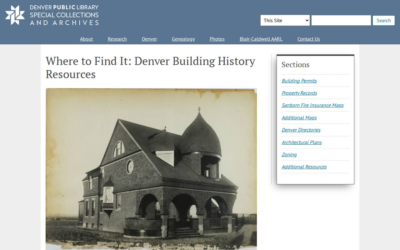
The image represents a regional research path, not a claim that every Thornton address is printed in every year. Save the exact volume, page, municipality, street spelling, owner or renter mark when printed, and any note about a move or forwarding address.
Note: A criss-cross line identifies a historical address lead; it does not establish a current occupant or an unbroken chain.
Pair Thornton Directories With Census Years
Census schedules add household structure at a fixed enumeration date, while a directory may be printed in another season and may list only a head of household. Federal census material is released under the 72-year rule. Denver Public Library's 1950 census guidance recommends using old directories and enumeration-district clues before opening the schedule. That pairing can explain a move that a deed alone cannot.
Use a directory as a bridge, not a replacement. Preserve the printed address and place label, then compare names, household relationships, and move timing.
- Choose the directory edition nearest the census date and record its title, place, and page.
- Read the street entry and alphabetic entry for the same name or household.
- Normalize the address only after preserving the original street and place wording.
- Find the released census schedule or library index and compare the household at that date.
- Use a deed, obituary, probate file, or later directory to explain the next gap.
The Thornton city directory records page maps the collections. The backward trail remains parcel, owners, address entries, household snapshots, and endpoint labels.
Thornton Past Residents in Archives
Obituaries, probate, and vital series often end a former-resident search. Anythink's HeritageHub description covers notices from 1704 to today. Colorado State Archives holds eligible Adams birth and death material from 1902 to 1907, marriage certificates from 1903 to 1975, licenses from 1902 to 1958, probate from 1902 to 1962, divorce from 1904 to 1992, and naturalization series. Eligibility controls access.
Use an archive request when a directory or deed points to a person but the modern vital-record route is confidential. The Colorado State Archives birth-record instructions explain that birth holdings must meet the stated age rule and that a request needs a qualifying route. Other series have their own access conditions.
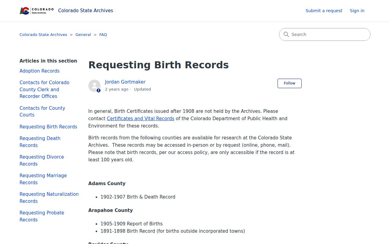
The image shows an archive request path, not a public name index. State Archives requests are online; local questions can go to the Adams County Museum by phone. Preserve whether a result is an obituary, index, probate lead, or certified record.
Sanborn Maps and Thornton House History
Sanborn maps add a building layer to a Thornton house history. The documented Denver series includes 1887, 1890 to 1893, 1903 to 1904 with pasteovers through 1925, 1929 to 1930 with pasteovers through 1961, 1962, and incomplete 1974. No Thornton-specific official volume was located. Check the municipality before assigning a Denver sheet to a Thornton parcel.
A map can show a footprint, street name, structure type, or land use. It cannot show every former resident. Pair the sheet with the legal description, plat, permit date, directory entry, census schedule, newspaper, or deed, and keep each source's place and date intact. A permit can date an alteration; a directory can name an address; a deed can connect parties to a transfer.
House-history comparison. Deeds answer who transferred an interest, directories answer who appeared at an address, census schedules answer who was counted, and maps answer what stood there.
What Thornton Past Residents Records Cannot Prove
A deed party is not automatically a resident. An assessor owner, mailing address, permit applicant, directory entry, voter snapshot, business role, or court party answers a narrower question. Voter files are dated and can omit protected addresses. The Address Confidentiality Program, sealed cases, juvenile limits, and disposed files can create gaps.
No public utility, delivery-account, private association, or complete household roster was located. Do not infer a current address from a historical line or treat a missing name as proof that someone never lived there. Keep the access date, record ID, source type, and uncertainty beside each statement.
Lawful house history. Use records about Thornton's past residents for family history, genealogy, property history, or civic research. Do not use a record to stalk, harass, track, or harm a living person.