
Thornton Neighbor Lookup by Block
A block lookup has a small set of documented source types. Each can describe geography, an address-keyed role, or a dated public field. None supplies a complete list of people living around an address. Start with the target parcel and use the table to decide which layer belongs next.
| Source | What It Shows About a Block | Access |
|---|---|---|
| Adams GIS adjacent polygons | Parcel number, situs, owner and mailing fields for clicked neighbors | Free map and REST layer |
| Thornton subdivision map | Neighborhood labels, subdivision geography, and city boundary context | Public map PDF and city layers |
| Adams voter files | Dated public names and address fields, subject to protected-address rules | Dated download or county request |
| CityView permits and code route | Address-keyed applications, permits, or municipal cases | Thornton property or records route |
| HOA and management list | Association or management contact where listed | Public list, not member directory |
| Planning notices | Recognized association mailing contacts for a public notice | Public packet, not household roster |
| USPS lookup | Exact delivery ZIP and last line for the address | Address validation only |
The block record is strongest when it records what the map returned and what it did not return. Missing owner or address fields should remain missing.
Click Adjacent Thornton Parcels
Adams GIS documents a simple adjacent-parcel method. Open the Basic Web Map, find the target address, identify its polygon, and then click each touching polygon in a consistent order. The inspected parcel layer exposes PARCELNB, address fields, owner variants, owner mailing address, mailing city, state, ZIP, and a property-report link when available. Save the access date and the clockwise order of the block.
The process is:
- Verify the target address and parcel number.
- Identify the target polygon and copy its legal or map fields.
- Click each adjacent polygon, starting at a named corner or street direction.
- Record only the fields the layer returns for each parcel.
- Compare subdivision, city boundary, and mailing ZIP context without treating it as a household result.
The Adams GIS map route is the source for this parcel-browse method.
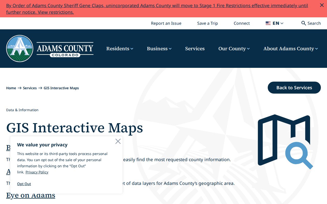
The map view supports place and parcel context. It does not expose an official household radius or members tool.
Thornton GIS Layers Around an Address
Adams Basic and Advanced Web Maps can add layers for subdivisions, flood areas, districts, zoning, and city boundaries. Thornton CityView can add property and permit context. These layers help answer whether two parcels share a mapped neighborhood or whether a record crosses a city or county line. They do not add private association membership, utility service, delivery accounts, or household composition.
For a target address near the Adams-Weld line, check the parcel against both county systems. A Thornton mailing address can route to a Weld property record, and a postal city line can differ from the municipal boundary. Preserve the county result and the map layer name so a later researcher can reproduce the block view.
GIS geography is most useful when paired with a parcel number and legal description. An unlabelled polygon is a map clue, not a person record.
Thornton Subdivision Names on the Map
The Thornton subdivision map supplies search labels that can bridge an address across sources. Original Thornton, Eastlake, Eastlake Estates and Shores, Hunters Glen, Todd Creek, North Creek, Riverdale, Wright Farms, and Yorkshire are among the documented names. A label can help locate a plat, permit, planning notice, newspaper item, or directory entry even when the source uses an older street or postal form.
These labels are geography, not a resident list. A subdivision name does not establish that a person belongs to an association or that every parcel shares the same rules. Use the map label with the parcel, lot and block, legal description, and source date.
Eastlake is a useful historical quirk. The city describes it as a railway village that became part of Thornton in 1990, so an older source may use Eastlake rather than Thornton for the same area.
Thornton HOA Contacts and Limits
Thornton publishes a property-management or HOA list that can identify an association or manager where listed. Planning packets can also show recognized association mailing contacts for public notices. Those sources provide a way to ask about private rules or a notice. They do not publish a public membership roster, household list, dues record, or private contact file.
| Subdivision map | Names and boundaries for mapped areas such as Original Thornton, Eastlake, Hunters Glen, Todd Creek, North Creek, Riverdale, Wright Farms, and Yorkshire. |
|---|---|
| HOA or management list | Association or management contact where the city list includes one; no member directory located. |
| Planning notice | Recognized association mailing contact for a public process; not a roster of residents. |
| DORA HOA resource | General state association information; no Thornton member directory located. |
| Code Compliance | City code route; Thornton does not enforce private HOA covenants. |
A public contact is a community doorway, not evidence that a named person lives nearby.
Thornton Public Notices and Associations
Planning notices can name a recognized association or provide a mailing contact for a public process. They are useful for finding the organization that covers an area, especially when the map and a private name differ. The notice’s date, project, and association role should stay attached to the contact.
No official congregation, block-watch, civic-club, or association member roster was located in the inspected Thornton sources. A church, alumni group, veterans organization, or neighborhood group may maintain its own history, but membership is not a public-record assumption. Ask the organization whether it holds a name index, a public contact, or only general history.
The community layer is therefore strongest for geography, public notice, and contact routing. It is not a substitute for a parcel record or a person-specific custodian.
Thornton Voter Data at Block Scale
Adams Elections provides dated public files, while the Colorado Secretary of State self-lookup is a personal registration check using first name, last name, ZIP, and birthday. Public voter data may include a name, residential address, party or affiliation date, birth year, phone if supplied, precinct or district, and participation history. The exact file headers must be read from the dated download.
Protected addresses, full birth date, Social Security number, driver or state ID number, signature, email, preregistered under-18 records, and how a person voted are not supplied. A block view built from a voter file is a dated public snapshot with omissions. It cannot establish household membership or current presence.
The Colorado voter-data guidance shows the public and protected split relevant to a Thornton block.
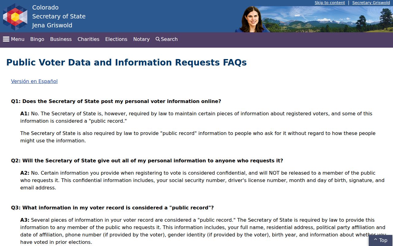
Use the file date and omission rule beside each block note. Never fill a protected address from a different source.
Thornton Code Cases by Address
CityView and Code Compliance add a municipal address layer. A permit or case can show an address, parcel, status, dates, subdivision, lot or block, legal description, and an applicant or owner role. The city says code enforcement does not enforce private HOA covenants. For old, inactive, or missing cases, the City Clerk CORA route is the documented fallback.
A code case is about a city matter, not a complete history of the people at the address. Preserve the case number, date, status, and role. If the question concerns an association rule, use the public contact source to reach the association rather than asking the city to disclose a private roster.
The Thornton Code Compliance route shows the city-level boundary around an address-keyed block search.
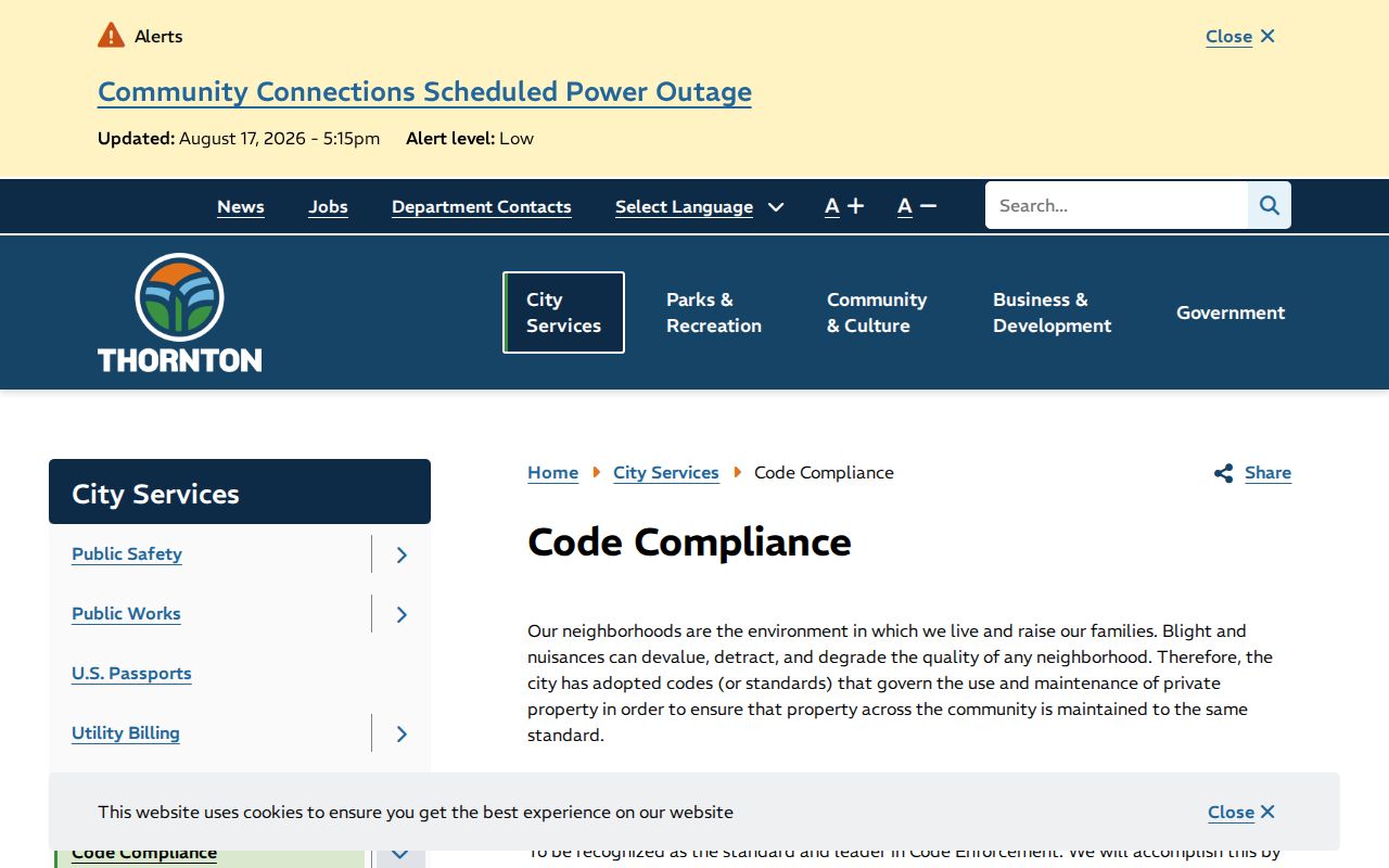
The city route can add a dated municipal case lead while leaving private association information outside the public record.
Thornton Neighbor Tools Compared
Official parcel and community sources have a clear custodian and a defined field set. Commercial neighbor-lookup products may combine public parcels, old directories, brokered data, and other records, but their matches can be stale, merged, or incomplete. A comparison helps keep a block lookup tied to evidence.
| Source type | Strength | Limit |
|---|---|---|
| Adams GIS | Adjacent parcel geometry and owner or mailing fields | No household or radius tool located |
| Voter file | Dated public registration and address fields | Protected addresses and identifiers omitted |
| HOA contact list | Organization or management route | No public member roster |
| CityView | Permit and municipal address context | Applicant role is not household membership |
| Commercial data product | May combine several record categories | Stale matches, unclear provenance, paid access, and privacy risk |
Primary records should carry the final citation. A commercial result can suggest a search term, but the underlying custodian decides what the record means.
Thornton Privacy at the Block Edge
A block is not a household list. Owner and occupant can differ. Mailing and situs addresses can differ. A voter record can be protected or dated. The Address Confidentiality Program can provide an eligible participant with a legal substitute address and mail forwarding. DMV information is separately restricted, and utility, delivery, and private association customer lists were not located in the inspected official sources.
Keep neighbor research lawful and narrow. Do not use a parcel, voter lead, code case, map result, or association contact to stalk, harass, intimidate, threaten, or harm anyone. Do not publish a protected address simply because a different source contains an old one.
When a neighbor lookup returns no name, the correct explanation may be a protected field, an incomplete index, an Adams-Weld boundary, or a source that only shows geometry. Record that limit instead of treating absence as proof.
For a full named-street chain, use the Thornton street directory and keep the block view focused on adjacent parcels and community geography.